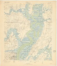
1919 Map of Melgrove
USGS Topo · Published 1919About this map
Cooper River dominates this 1918 survey, its winding path defining the commercial and social geography of the South Carolina lowcountry just after the First World War. The map captures the industrial emergence of North Charleston in the south, while the northern reaches maintain a landscape of plantations and landings. Transportation is transitioning from river-based commerce at sites like Redbank Landing and Haulover Landing toward the iron rails of the Seaboard Air Line and Southern railroads. Local life is anchored by community landmarks such as St Johns Church, Mary Ann Church, and the No 6 School. The intricate network of tidal waterways, including Back Slack Reach and Clouter Creek, highlights the complex watery landscape between the mainland and islands like Daniel Island and Thomas Island.
Find a feature on this map
39 named features on this map. Tap any name to fly to it.
Don’t see what you’re looking for? This feature index may not catch every label — zoom into the map to look around manually.
Map Details
Editions of this 1919 Melgrove Map
3 editions found
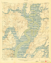
Other maps of this area

1919 · Ladson
USGS Topo · 1:21,120

1919 · Johns Island
USGS Topo · 1:21,120

1919 · Summerville
USGS Topo · 1:48,000

1919 · Wando
USGS Topo · 1:21,120

1919 · Cordesville
USGS Topo · 1:48,000

1919 · Melgrove
USGS Topo · 1:21,120

1919 · Charleston
USGS Topo · 1:21,120

1919 · Fort Moultrie
USGS Topo · 1:21,120

1920 · Ravenels
USGS Topo · 1:62,500

1920 · Summerville
USGS Topo · 1:62,500