
1952 Map of Mellan
USGS Topo · Published 1958About this map
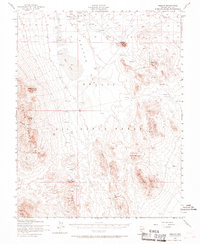
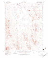
The Las Vegas Bombing and Gunnery Range dominates this mid-century landscape in Nye County, illustrating the significant military presence in the Nevada desert during the early Cold War. The terrain is characterized by the expansive Cactus Flat and the elevations of the Cactus Range, where specialized infrastructure like an Observation Tower, multiple Target markers, and a Landing Field are dispersed across the valley floor. Small pockets of human activity appear at the isolated settlement of Mellan and the nearby Wilsons Camp. This area shows the intersection of older desert lifeways and modern strategic needs, where established sites like Antelope Springs and a designated Mining Area exist alongside tactical military installations. Water sources remain critical and scarce, evidenced by the scattered locations of Sulphide Well, a Water Tank, and a Res (reservoir) tucked into the foothills.
Find a feature on this map
16 named features on this map. Tap any name to fly to it.
Don’t see what you’re looking for? This feature index may not catch every label — zoom into the map to look around manually.
Map Details
Editions of this 1952 Mellan Map
3 editions found
Other maps of this area

1908 · Kawich
USGS Topo · 1:250,000

1942 · Tolicha Peak
USGS Topo · 1:125,000

1942 · Cactus Range
USGS Topo · 1:125,000

1942 · Reveille Peak
USGS Topo · 1:125,000

1942 · Wheelbarrow Peak
USGS Topo · 1:125,000

1952 · Stinking Spring
USGS Topo · 1:62,500

1952 · Kawich Peak
USGS Topo · 1:62,500

1952 · Cactus Spring
USGS Topo · 1:62,500

1952 · Quartzite Mtn
USGS Topo · 1:62,500

1952 · Silent Canyon
USGS Topo · 1:62,500