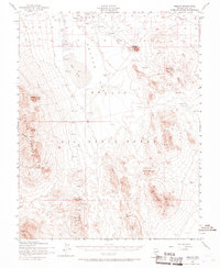
1952 Map of Mellan
USGS Topo · Published 1968About this map
Mellan and the surrounding high-desert territory of the Nellis Air Force Range are captured here during a period of transition in the early 1950s. The landscape is defined by its isolation and specialized use, featuring remote outposts like Wilsons Camp and Trappman, as well as a dedicated Mining Area in the western hills. The presence of several targets, a Landing Field, and an Observation Tower reflects the mid-century military expansion into this part of the Great Basin.
Find a feature on this map
25 named features on this map. Tap any name to fly to it.
Don’t see what you’re looking for? This feature index may not catch every label — zoom into the map to look around manually.
Map Details
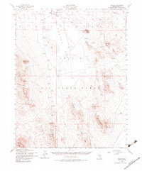
Editions of this 1952 Mellan Map
3 editions found
Other maps of this area

1908 · Kawich
USGS Topo · 1:250,000

1942 · Tolicha Peak
USGS Topo · 1:125,000

1942 · Cactus Range
USGS Topo · 1:125,000

1942 · Reveille Peak
USGS Topo · 1:125,000

1942 · Wheelbarrow Peak
USGS Topo · 1:125,000

1952 · Stinking Spring
USGS Topo · 1:62,500

1952 · Mellan
USGS Topo · 1:62,500

1952 · Kawich Peak
USGS Topo · 1:62,500

1952 · Cactus Spring
USGS Topo · 1:62,500

1952 · Quartzite Mtn
USGS Topo · 1:62,500