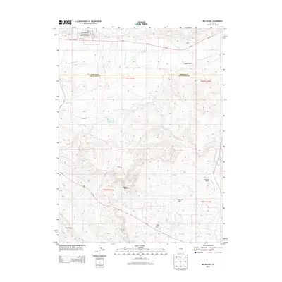
2013 Map of Mellen Hill
USGS Topo · Published 2013About this map
Dinosaur National Monument occupies the northwestern corner of this landscape, where the high desert terrain of the Colorado plateau is carved by an intricate system of seasonal drainages. The map reveals a transition from protected federal lands in the north to industrial resource extraction in the south, most notably where the Rangely Oil Field extends across the lower portion of the sheet. The topographical detail highlights the prominence of Mellen Hill and the long expanse of Raven Ridge, while the network of dry washes including East Twin Wash, West Twin Wash, and Twin Wash define the local hydrology. This 2013 survey serves as a modern record of the intersection between conservation, energy production, and the natural drainage patterns of the Coal Oil Basin.
Find a feature on this map
26 named features on this map. Tap any name to fly to it.
Don’t see what you’re looking for? This feature index may not catch every label — zoom into the map to look around manually.
Map Details
Editions of this 2013 Mellen Hill Map
This is the sole edition of this map. No revisions or reprints were ever made.
Other maps of this area

1885 · Ashley
USGS Topo · 1:250,000

1907 · Rangely
USGS Topo · 1:125,000

1907 · Jensen
USGS Topo · 1:125,000

1910 · Jensen
USGS Topo · 1:125,000

1910 · Rangely
USGS Topo · 1:125,000

1954 · Vernal
USGS Topo · 1:250,000

1958 · Vernal
USGS Topo · 1:250,000

1960 · Vernal
USGS Topo · 1:250,000

1962 · Lazy Y Point
USGS Topo · 1:24,000

1962 · Rangely NE
USGS Topo · 1:24,000