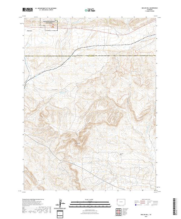
2022 Map of Mellen Hill
USGS Topo · Published 2022About this map
Dinosaur National Monument occupies the northern reaches of this Colorado landscape, where the high desert terrain transitions from the settlement of Dinosaur into a complex network of arid drainage systems. The map illustrates a rugged topography defined by significant elevation changes, notably at Mellen Hill and along the prominent Raven Ridge to the southwest. This area, straddling the border of Moffat and Rio Blanco counties, is characterized by its seasonal watercourses, including E Twin Wash, W Twin Wash, and the curiously named Stinking Water Cr.
Find a feature on this map
25 named features on this map. Tap any name to fly to it.
Don’t see what you’re looking for? This feature index may not catch every label — zoom into the map to look around manually.
Map Details
Editions of this 2022 Mellen Hill Map
This is the sole edition of this map. No revisions or reprints were ever made.
Other maps of this area

1885 · Ashley
USGS Topo · 1:250,000

1907 · Rangely
USGS Topo · 1:125,000

1907 · Jensen
USGS Topo · 1:125,000

1910 · Jensen
USGS Topo · 1:125,000

1910 · Rangely
USGS Topo · 1:125,000

1954 · Vernal
USGS Topo · 1:250,000

1958 · Vernal
USGS Topo · 1:250,000

1960 · Vernal
USGS Topo · 1:250,000

1962 · Lazy Y Point
USGS Topo · 1:24,000

1962 · Rangely NE
USGS Topo · 1:24,000