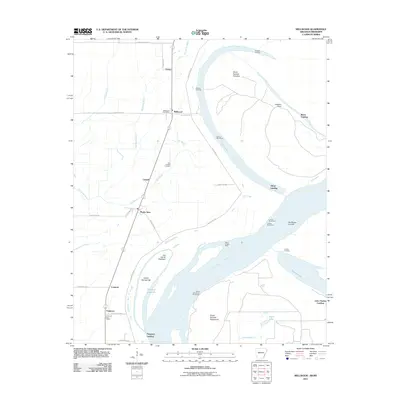
2011 Map of Mellwood
USGS Topo · Published 2011About this map
The Mississippi River creates a dynamic border along this corridor, where the land is defined by complex river engineering and alluvial geography. Long-established landings such as Dawson Landing, Avenue Landing, Reese Landing, and Offutt Landing line the riverbank, serving as critical historical points of contact between the water and the agricultural interior. The interior landscape is crisscrossed by drainage networks like Big Sandy Bayou and Bee Bayou, which dictate the placement of small agricultural hubs.
Find a feature on this map
44 named features on this map. Tap any name to fly to it.
Don’t see what you’re looking for? This feature index may not catch every label — zoom into the map to look around manually.
Map Details
Editions of this 2011 Mellwood Map
This is the sole edition of this map. No revisions or reprints were ever made.
Other maps of this area

1930 · Mellwood
USGS Topo · 1:62,500

1939 · Modoc
USGS Topo · 1:62,500

1939 · Indian Bay
USGS Topo · 1:62,500

1939 · Henrico
USGS Topo · 1:62,500

1939 · Mellwood
USGS Topo · 1:62,500

1948 · Helena
USGS Topo · 1:250,000

1948 · Modoc
USGS Topo · 1:62,500

1950 · Helena
USGS Topo · 1:250,000

1954 · Mellwood
USGS Topo · 1:62,500

1954 · Indian Bay
USGS Topo · 1:62,500