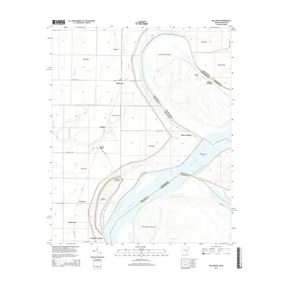
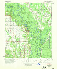
2014 Map of Mellwood
USGS Topo · Published 2014About this map
The Mississippi River defines the dynamic border between Arkansas and Mississippi in this 2014 survey, where the shifting riverbed has created a complex landscape of islands and landings. Along the western bank in Arkansas, a string of small settlements including Mellwood, Lundell, Crumrod, and Ferguson are connected by Ar 44. This area is heavily defined by its alluvial geography, with water bodies like Big Sandy Bayou and Middle Bayou snaking through the lowlands.
Find a feature on this map
44 named features on this map. Tap any name to fly to it.
Don’t see what you’re looking for? This feature index may not catch every label — zoom into the map to look around manually.
Map Details
Editions of this 2014 Mellwood Map
This is the sole edition of this map. No revisions or reprints were ever made.
Other maps of this area
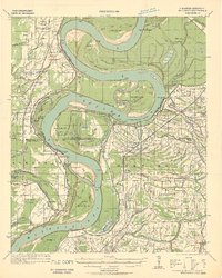
1930 · Mellwood
USGS Topo · 1:62,500
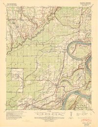
1939 · Modoc
USGS Topo · 1:62,500
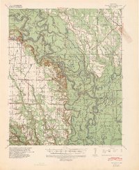
1939 · Indian Bay
USGS Topo · 1:62,500
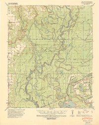
1939 · Henrico
USGS Topo · 1:62,500
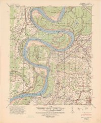
1939 · Mellwood
USGS Topo · 1:62,500

1948 · Helena
USGS Topo · 1:250,000
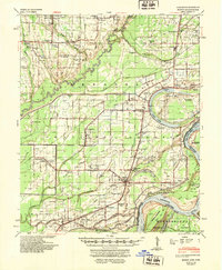
1948 · Modoc
USGS Topo · 1:62,500

1950 · Helena
USGS Topo · 1:250,000
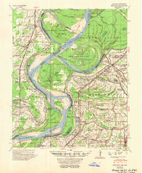
1954 · Mellwood
USGS Topo · 1:62,500
1954 · Indian Bay
USGS Topo · 1:62,500