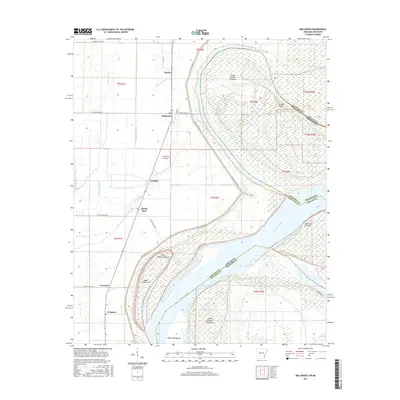
2017 Map of Mellwood
USGS Topo · Published 2017About this map
The Mississippi River creates a dynamic border between Phillips County, Arkansas, and Coahoma County, Mississippi, carving out a landscape of shifting bars and expansive islands. In this riverine environment, massive landforms like Island Number Sixtyfive and Island Number Sixtyseven dominate the channel, while smaller features such as Jug Harris Towhead and Wood Cottage Bar indicate the ever-changing nature of the river's course.
Find a feature on this map
42 named features on this map. Tap any name to fly to it.
Don’t see what you’re looking for? This feature index may not catch every label — zoom into the map to look around manually.
Map Details
Editions of this 2017 Mellwood Map
This is the sole edition of this map. No revisions or reprints were ever made.
Other maps of this area

1930 · Mellwood
USGS Topo · 1:62,500

1939 · Modoc
USGS Topo · 1:62,500

1939 · Indian Bay
USGS Topo · 1:62,500

1939 · Henrico
USGS Topo · 1:62,500

1939 · Mellwood
USGS Topo · 1:62,500

1948 · Helena
USGS Topo · 1:250,000

1948 · Modoc
USGS Topo · 1:62,500

1950 · Helena
USGS Topo · 1:250,000

1954 · Mellwood
USGS Topo · 1:62,500

1954 · Indian Bay
USGS Topo · 1:62,500