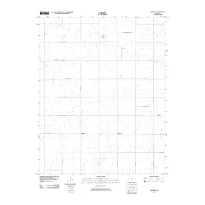
2009 Map of Melrose
USGS Topo · Published 2009About this map
Melrose and the neighboring settlement of Keelville anchor this section of Cherokee County, characterized by a meticulous grid of rural routes and the wandering paths of Fly Creek and its tributaries. The landscape is marked by small, scattered burial grounds that reflect the area's pioneer heritage, including the Johnson Family Cemetery and Moore Cemetery. These sites, along with Fly Creek Cemetery and Greenlawn Cemetery, provide significant points of interest for genealogists tracing local families in the southeastern corner of Kansas. The hydrology of the region is defined by the drainage of Little Fly Creek and Fourmile Creek, which cut through the agricultural sections bounded by roads such as SW Beasley Rd and SW Black Jack Rd. This documentation reflects a long-established settlement pattern where family landmarks and small townships remain the primary focal points of the community.
Find a feature on this map
26 named features on this map. Tap any name to fly to it.
Don’t see what you’re looking for? This feature index may not catch every label — zoom into the map to look around manually.
Map Details
Editions of this 2009 Melrose Map
This is the sole edition of this map. No revisions or reprints were ever made.
Other maps of this area

1886 · Joplin
USGS Topo · 1:125,000

1886 · Parsons
USGS Topo · 1:125,000

1893 · Parsons
USGS Topo · 1:125,000

1894 · Joplin
USGS Topo · 1:125,000

1901 · Vinita
USGS Topo · 1:125,000

1907 · Wyandotte
USGS Topo · 1:125,000

1909 · Wyandotte
USGS Topo · 1:125,000

1913 · Vinita
USGS Topo · 1:125,000

1918 · Columbus
USGS Topo · 1:62,500

1944 · Oswego
USGS Topo · 1:62,500