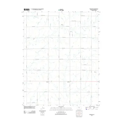
2012 Map of Melrose
USGS Topo · Published 2012About this map
Melrose and Keelville anchor this agricultural landscape in southwest Cherokee County, where a rigid grid of section-line roads defines the movement of local commerce and community. The terrain is deeply etched by a network of drainage ways, including Center Cr, Fly Cr, and Little Fly Cr, which meander through the prairie soils. For genealogists and local historians, the presence of small, family-oriented burial sites like Johnson Family Cem and the Fly Creek Cem provides a direct link to the early families who settled this corner of the state. The naming of roads such as SW Boston Mills Rd, SW Quaker Rd, and SW Black Jack Rd suggests the historical importance of early industrial sites and diverse social foundations that once shaped these rural townships.
Find a feature on this map
29 named features on this map. Tap any name to fly to it.
Don’t see what you’re looking for? This feature index may not catch every label — zoom into the map to look around manually.
Map Details
Editions of this 2012 Melrose Map
This is the sole edition of this map. No revisions or reprints were ever made.
Other maps of this area

1886 · Joplin
USGS Topo · 1:125,000

1886 · Parsons
USGS Topo · 1:125,000

1893 · Parsons
USGS Topo · 1:125,000

1894 · Joplin
USGS Topo · 1:125,000

1901 · Vinita
USGS Topo · 1:125,000

1907 · Wyandotte
USGS Topo · 1:125,000

1909 · Wyandotte
USGS Topo · 1:125,000

1913 · Vinita
USGS Topo · 1:125,000

1918 · Columbus
USGS Topo · 1:62,500

1944 · Oswego
USGS Topo · 1:62,500