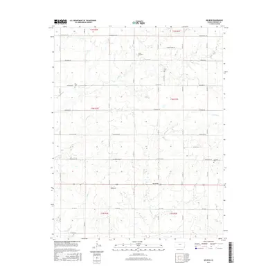
2015 Map of Melrose
USGS Topo · Published 2015About this map
Melrose and Keelville serve as the primary nodes of activity in this rural corner of Cherokee County, Kansas, situated just north of the Oklahoma border. The landscape is defined by a grid of agricultural section lines, including SW Boston Mills Rd and SW Star Rd, which navigate the drainages of several local waterways. These streams, such as Fly Cr and its tributary Little Fly Cr, as well as Fourmile Cr and Squaw Cr, carve subtle contours through the prairie.
Find a feature on this map
25 named features on this map. Tap any name to fly to it.
Don’t see what you’re looking for? This feature index may not catch every label — zoom into the map to look around manually.
Map Details
Editions of this 2015 Melrose Map
This is the sole edition of this map. No revisions or reprints were ever made.
Other maps of this area

1886 · Joplin
USGS Topo · 1:125,000

1886 · Parsons
USGS Topo · 1:125,000

1893 · Parsons
USGS Topo · 1:125,000

1894 · Joplin
USGS Topo · 1:125,000

1901 · Vinita
USGS Topo · 1:125,000

1907 · Wyandotte
USGS Topo · 1:125,000

1909 · Wyandotte
USGS Topo · 1:125,000

1913 · Vinita
USGS Topo · 1:125,000

1918 · Columbus
USGS Topo · 1:62,500

1944 · Oswego
USGS Topo · 1:62,500