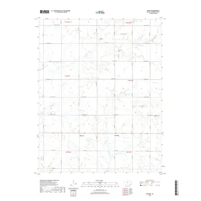
2018 Map of Melrose
USGS Topo · Published 2018About this map
The quiet rural landscape of Cherokee County is anchored by the community of Melrose and the neighboring settlement of Keelville just to the east. This section of southeastern Kansas is characterized by a dense network of country roads following the Public Land Survey System grid, including SW Boston Mills Rd and SW Greenlawn Rd. The terrain is shaped by the winding paths of Fly Cr and its tributary, Little Fly Cr, which meander through the prairie alongside Center Cr and Fourmile Cr.
Find a feature on this map
27 named features on this map. Tap any name to fly to it.
Don’t see what you’re looking for? This feature index may not catch every label — zoom into the map to look around manually.
Map Details
Editions of this 2018 Melrose Map
This is the sole edition of this map. No revisions or reprints were ever made.
Other maps of this area

1886 · Joplin
USGS Topo · 1:125,000

1886 · Parsons
USGS Topo · 1:125,000

1893 · Parsons
USGS Topo · 1:125,000

1894 · Joplin
USGS Topo · 1:125,000

1901 · Vinita
USGS Topo · 1:125,000

1907 · Wyandotte
USGS Topo · 1:125,000

1909 · Wyandotte
USGS Topo · 1:125,000

1913 · Vinita
USGS Topo · 1:125,000

1918 · Columbus
USGS Topo · 1:62,500

1944 · Oswego
USGS Topo · 1:62,500