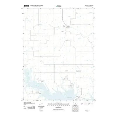
2010 Map of Melrose
USGS Topo · Published 2010About this map
Melrose serves as the primary settlement in this part of Monroe County, situated where Cedar Creek winds through the northern landscape. The town is home to the Melrose Post Office and Melrose Methodist Cemetery, while Mount Calvary Cemetery lies just to the south. The southern portion of the quadrangle is dominated by the sprawling waters of Rathbun Lake, which transformed the local topography and drainage patterns of Honey Creek and Bleubaugh Creek.
Find a feature on this map
45 named features on this map. Tap any name to fly to it.
Don’t see what you’re looking for? This feature index may not catch every label — zoom into the map to look around manually.
Map Details
Editions of this 2010 Melrose Map
This is the sole edition of this map. No revisions or reprints were ever made.
Other maps of this area

1924 · Melcher
USGS Topo · 1:62,500

1929 · Albia
USGS Topo · 1:62,500

1935 · Russell
USGS Topo · 1:62,500

1938 · Russell
USGS Topo · 1:62,500

1939 · Mystic
USGS Topo · 1:62,500

1942 · Mystic
USGS Topo · 1:62,500

1954 · Centerville
USGS Topo · 1:250,000

1954 · Des Moines
USGS Topo · 1:250,000

1956 · Des Moines
USGS Topo · 1:250,000

1957 · Des Moines
USGS Topo · 1:250,000