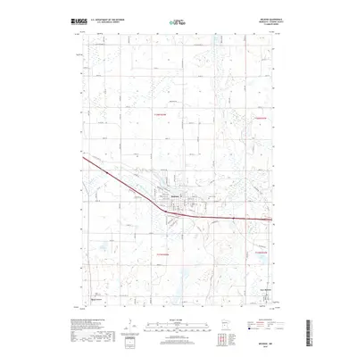
2019 Map of Melrose
USGS Topo · Published 2019About this map
Melrose serves as the central hub of this Stearns County landscape, where the Sauk River meanders through a terrain defined by glacial lakes and agricultural grids. The settlement pattern is anchored by small rural centers and their respective parish sites, such as Meire Grove and New Munich. A high concentration of burial grounds, including Oak Hill Cem, Saint Marys Cem, and Saint Patrick Cem, provides significant points of interest for those tracing local lineages. The hydrology of the area is heavily managed, as evidenced by the prominence of County Ditch Number Forty-two, which drains the lowlands between Lake Isabelle and the river. Modern infrastructure like Interstate 52 and Industry Pkwy intersects with older routes like Lovers Ln, illustrating the evolution from a river-based economy to a contemporary transportation corridor.
Find a feature on this map
65 named features on this map. Tap any name to fly to it.
Don’t see what you’re looking for? This feature index may not catch every label — zoom into the map to look around manually.
Map Details
Editions of this 2019 Melrose Map
This is the sole edition of this map. No revisions or reprints were ever made.
Other maps of this area

1950 · Swanville
USGS Topo · 1:62,500

1953 · Saint Cloud
USGS Topo · 1:250,000

1957 · Saint Cloud
USGS Topo · 1:250,000

1958 · Saint Cloud
USGS Topo · 1:250,000

1965 · Greenwald
USGS Topo · 1:24,000

1965 · Sauk Centre
USGS Topo · 1:24,000

1965 · Melrose
USGS Topo · 1:24,000

1965 · Freeport
USGS Topo · 1:24,000

1965 · Elrosa
USGS Topo · 1:24,000

1965 · St Martin
USGS Topo · 1:24,000
Featured Places
- Melrose, MN
- New Munich, MN
- Meire Grove, MN
- Melrose Mobile Home Park, Melrose
- Rose Terrace Mobile Home Park, Melrose