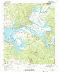
1967 Map of Melson
USGS Topo · Published 1969About this map
Weiss Reservoir dominates this landscape along the Alabama and Georgia border, where the flooding of the Coosa River reshaped the local geography. The map captures the transition of the river valley into a reservoir system, marking the inundation of low-lying areas while preserving the locations of hilltop settlements like Kirks Grove and Melson. Genealogists will find a high density of rural spiritual and burial sites, including State Line Ch and Old Nazareth Cem, which anchored the community across the state line between Cherokee Co, Alabama, and Floyd Co, Georgia.
Find a feature on this map
49 named features on this map. Tap any name to fly to it.
Don’t see what you’re looking for? This feature index may not catch every label — zoom into the map to look around manually.
Map Details
Editions of this 1967 Melson Map
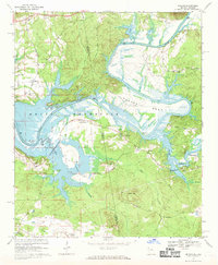
2 editions found
Other maps of this area

1886 · Rome
USGS Topo · 1:125,000

1893 · Fort Payne
USGS Topo · 1:125,000

1898 · Rome
USGS Topo · 1:125,000

1898 · Fort Payne
USGS Topo · 1:125,000

1899 · Rome
USGS Topo · 1:125,000

1900 · Fort Payne
USGS Topo · 1:125,000

1904 · Rome
USGS Topo · 1:125,000

1955 · Rome
USGS Topo · 1:250,000

1958 · Rome
USGS Topo · 1:250,000

1961 · Rome
USGS Topo · 1:250,000