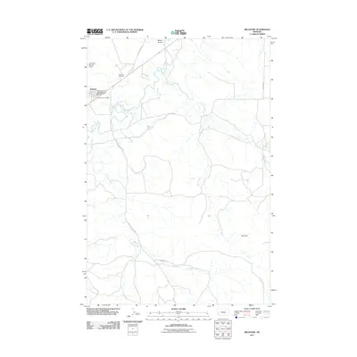
2011 Map of Melstone
USGS Topo · Published 2011About this map
The Musselshell River winds through this central Montana landscape, defining the character of the settlement at Melstone. This region is shaped by a network of drainage systems, including Horse Creek and Lost Horse Creek, which carve through the terrain south of the town center. Local infrastructure is anchored by the Melstone Post Office and the Melstone Vol Fire Dept and Quick Response Unit, serving a rural community connected by secondary routes like the Melstone-Custer Rd and Adams Rd.
Find a feature on this map
16 named features on this map. Tap any name to fly to it.
Don’t see what you’re looking for? This feature index may not catch every label — zoom into the map to look around manually.
Map Details
Editions of this 2011 Melstone Map
This is the sole edition of this map. No revisions or reprints were ever made.
Other maps of this area

1954 · Forsyth
USGS Topo · 1:250,000

1957 · Forsyth
USGS Topo · 1:250,000

1958 · Forsyth
USGS Topo · 1:250,000

1962 · Queens Point
USGS Topo · 1:24,000

1962 · Guthridge Ranch
USGS Topo · 1:24,000

1962 · Melstone NE
USGS Topo · 1:24,000

1962 · Melstone NW
USGS Topo · 1:24,000

1962 · Grebe Ranch
USGS Topo · 1:24,000

1963 · Melstone
USGS Topo · 1:24,000

1979 · Melstone
USGS Topo · 1:100,000