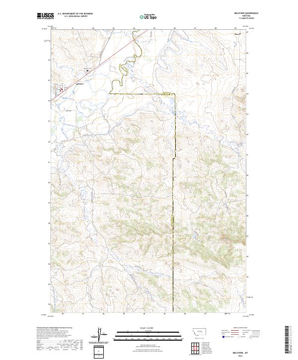
2024 Map of Melstone
USGS Topo · Published 2024About this map
Melstone serves as the primary hub in this portion of the Musselshell Valley, characterized by its grid of streets including 6th Ave and Fergus St. The landscape is dominated by the winding course of the Musselshell River, which creates a complex series of bends and low-lying wetlands as it flows through the northern half of the area. To the north of the town site, the Melstone Cem sits near the junction of Mosby Rd, while the small settlement of Bascom occupies the far northeastern corner.
Find a feature on this map
27 named features on this map. Tap any name to fly to it.
Don’t see what you’re looking for? This feature index may not catch every label — zoom into the map to look around manually.
Map Details
Editions of this 2024 Melstone Map
This is the sole edition of this map. No revisions or reprints were ever made.
Other maps of this area

1954 · Forsyth
USGS Topo · 1:250,000

1957 · Forsyth
USGS Topo · 1:250,000

1958 · Forsyth
USGS Topo · 1:250,000

1962 · Queens Point
USGS Topo · 1:24,000

1962 · Guthridge Ranch
USGS Topo · 1:24,000

1962 · Melstone NE
USGS Topo · 1:24,000

1962 · Melstone NW
USGS Topo · 1:24,000

1962 · Grebe Ranch
USGS Topo · 1:24,000

1963 · Melstone
USGS Topo · 1:24,000

1979 · Melstone
USGS Topo · 1:100,000