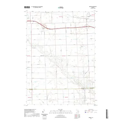
2019 Map of Memphis
USGS Topo · Published 2019About this map
Memphis sits at the southern edge of this Michigan landscape, straddling the county line between St. Clair Co and Macomb Co. The village is a focal point for the surrounding agricultural lands, which are defined by a complex network of waterways including the Belle River and its various tributaries like Sage Cr and Ashery Cr. Further north, the settlement of Riley Center and the village of Emmett anchor the rural townships, connected by a grid of long-established section roads such as Belle River Rd and Masters Rd.
Find a feature on this map
86 named features on this map. Tap any name to fly to it.
Don’t see what you’re looking for? This feature index may not catch every label — zoom into the map to look around manually.
Map Details
Editions of this 2019 Memphis Map
This is the sole edition of this map. No revisions or reprints were ever made.
Other maps of this area

1914 · Armada
USGS Topo · 1:62,500

1928 · Armada
USGS Topo · 1:62,500

1928 · Hicky
USGS Topo · 1:62,500

1939 · Adair
USGS Topo · 1:24,000

1939 · Goodells
USGS Topo · 1:24,000

1944 · Memphis
USGS Topo · 1:24,000

1945 · Armada
USGS Topo · 1:24,000

1945 · Allenton
USGS Topo · 1:24,000

1945 · Richmond
USGS Topo · 1:24,000

1952 · Allenton
USGS Topo · 1:24,000