2022 Map of Menahga
USGS Topo · Published 2022About this map
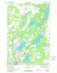
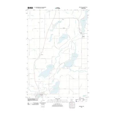
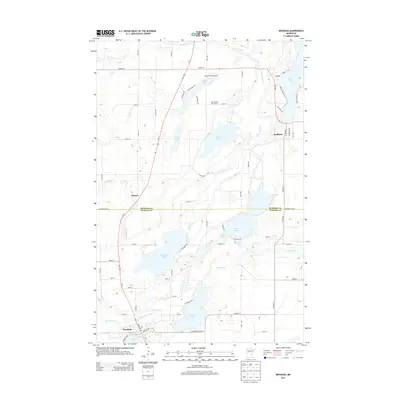
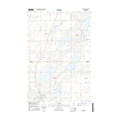
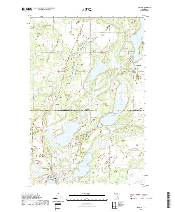
Menahga serves as the primary hub in this lake-dotted landscape along the Hubbard Co Wadena Co line. The terrain is defined by a dense network of waterways, including the winding Shell River and Blueberry River, which flow near the older settlements of Hubbard and Horton. The map illustrates a region transitioning from its agricultural and timber roots into a recreation-focused destination, evidenced by the numerous residential roads such as Breezy Pines Dr and Beach Haven Rd clustered around Long Lake. To the north, the Falk Private Airport highlights the localized infrastructure of the area. Genealogists and local historians can trace the development of the county boundary lands between Spirit Lake and Hinds Lake, where the concentration of named lakes like Blueberry Lake and Stocking Lake has historically influenced local road networks and settlement patterns.
Find a feature on this map
90 named features on this map. Tap any name to fly to it.
Don’t see what you’re looking for? This feature index may not catch every label — zoom into the map to look around manually.
Map Details
Editions of this 2022 Menahga Map
This is the sole edition of this map. No revisions or reprints were ever made.
Historical Maps of Menahga Through Time
6 maps found