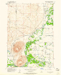
1951 Map of Menan Buttes
USGS Topo · Published 1961About this map
Menan Buttes dominate the western portion of this 1951 survey, rising sharply above the complex river networks of the Snake River and Henrys Fork. This area of eastern Idaho shows a landscape defined by water management and early transportation history, where the Union Pacific railroad cuts across the volcanic terrain near the Historic Monument Site of First Ferry. The convergence of these major rivers creates a braided environment of sloughs and islands, including Big Island and Little Island, which required an extensive system of irrigation canals like the Rexburg Canal and St Anthony Canal to support regional agriculture. Local history is preserved in the location of the Beaver Dick Cemetery and the site of the Independence Sch (Abandoned), documenting the rural social structures of Madison Co and Jefferson Co during the mid-twentieth century.
Find a feature on this map
23 named features on this map. Tap any name to fly to it.
Don’t see what you’re looking for? This feature index may not catch every label — zoom into the map to look around manually.
Map Details
Editions of this 1951 Menan Buttes Map
11 editions found
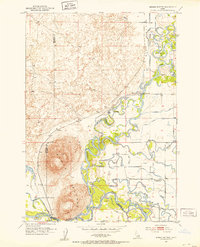
1953 edition
21.9 x 27 inches
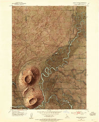
1953 edition
22 x 26.9 inches
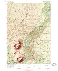
1953 edition
22 x 26.8 inches
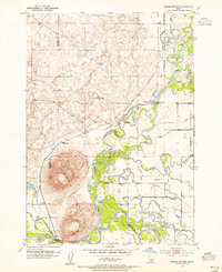
1955 edition
21.9 x 26.9 inches
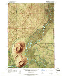
1961 edition
22 x 26.8 inches
1961 edition
22 x 26.9 inches
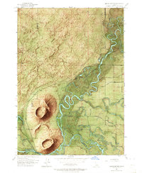
1964 edition
22 x 26.8 inches
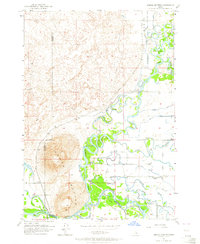
1964 edition
22 x 26.8 inches
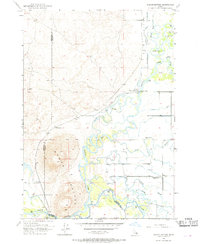
1969 edition
22 x 26.8 inches
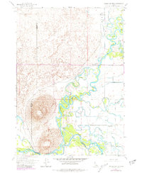
1981 edition
22 x 26.8 inches
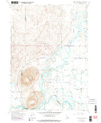
1981 edition
22 x 26.8 inches
Other maps of this area

1948 · Rigby
USGS Topo · 1:24,000

1948 · Lewisville
USGS Topo · 1:24,000

1948 · Parker
USGS Topo · 1:24,000

1949 · Rexburg
USGS Topo · 1:24,000

1949 · Rigby
USGS Topo · 1:24,000

1949 · Lewisville
USGS Topo · 1:24,000

1949 · Roberts
USGS Topo · 1:62,500

1950 · Ririe
USGS Topo · 1:24,000

1950 · Parker
USGS Topo · 1:24,000

1950 · Rexburg
USGS Topo · 1:24,000