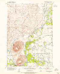
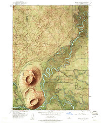
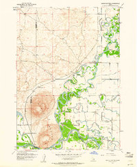
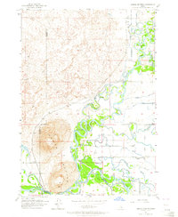
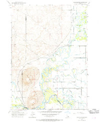
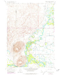
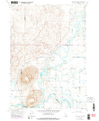
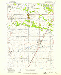
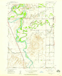
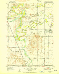
1951 Map of Menan Buttes
USGS Topo · Published 1964About this map
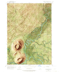
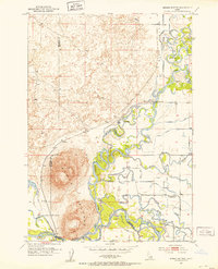
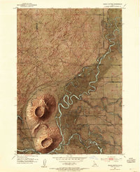
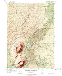
The Menan Buttes rise sharply from the river plain in this survey of the Jefferson and Madison county border, marking a landscape defined by an intricate network of irrigation and river travel. The Snake River and its tributary Henrys Fork dominate the eastern half of the map, creating a complex series of islands and sloughs such as Big Island and Millward Slough. Local agriculture is supported by an extensive canal system including the Egin Bench Canal and the St Anthony Canal. Historic river crossings are noted at the Historic Monument Site of First Ferry near the North Fork Bridge. For genealogists, the Beaver Dick Cemetery and the site of the Independence Sch (Abandoned) provide specific points of interest along the river bends.
Find a feature on this map
21 named features on this map. Tap any name to fly to it.
Don’t see what you’re looking for? This feature index may not catch every label — zoom into the map to look around manually.
Map Details
Editions of this 1951 Menan Buttes Map
11 editions found
1953 edition
21.9 x 27 inches
1953 edition
22 x 26.9 inches
1953 edition
22 x 26.8 inches
1955 edition
21.9 x 26.9 inches
1961 edition
22 x 26.8 inches
1961 edition
22 x 26.9 inches
1964 edition
22 x 26.8 inches
1964 edition
22 x 26.8 inches
1969 edition
22 x 26.8 inches
1981 edition
22 x 26.8 inches
1981 edition
22 x 26.8 inches
Other maps of this area
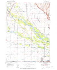
1948 · Rigby
USGS Topo · 1:24,000
1948 · Lewisville
USGS Topo · 1:24,000
1948 · Parker
USGS Topo · 1:24,000
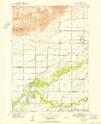
1949 · Rexburg
USGS Topo · 1:24,000
1949 · Rigby
USGS Topo · 1:24,000
1949 · Lewisville
USGS Topo · 1:24,000

1949 · Roberts
USGS Topo · 1:62,500
1950 · Ririe
USGS Topo · 1:24,000
1950 · Parker
USGS Topo · 1:24,000

1950 · Rexburg
USGS Topo · 1:24,000