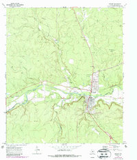
1970 Map of Menard
USGS Topo · Published 1987About this map
The San Saba River defines the landscape of this Central Texas corridor, where irrigation and ranching historically intersect. In the 1970s, the town of Menard served as a focal point for the region, showing a transition from older transport and cultural markers to modern infrastructure. The presence of the San Saba Mission (Ruins) and the Pioneer Rest Cem points to the area's deep frontier roots, while the Menard Irrigation Company Canal illustrates the managed water systems critical to local agriculture.
Find a feature on this map
27 named features on this map. Tap any name to fly to it.
Don’t see what you’re looking for? This feature index may not catch every label — zoom into the map to look around manually.
Map Details
Editions of this 1970 Menard Map
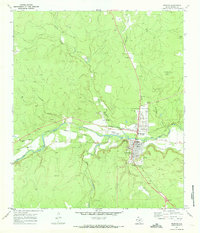
2 editions found
Other maps of this area

1892 · Eden
USGS Topo · 1:125,000

1896 · Eden
USGS Topo · 1:125,000

1954 · Brownwood
USGS Topo · 1:250,000

1954 · Llano
USGS Topo · 1:250,000

1955 · Llano
USGS Topo · 1:250,000

1956 · Llano
USGS Topo · 1:250,000

1970 · Callan
USGS Topo · 1:24,000

1970 · Clear Creek Lake
USGS Topo · 1:24,000

1970 · San Augustine Draw
USGS Topo · 1:24,000

1970 · East Elm Creek
USGS Topo · 1:24,000