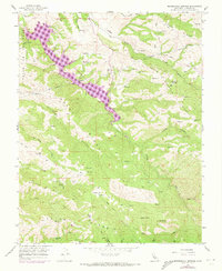
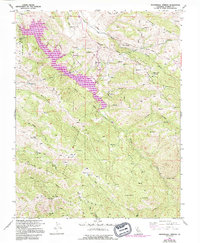
1956 Map of Mendenhall Springs
USGS Topo · Published 1973About this map
Mendenhall Springs stands as a focal point in this 1956 survey of the Alameda County highlands, where the topography is defined by the deep incisions of Arroyo Mocho and the complex drainage systems of San Antonio Creek and La Costa Creek. The landscape shows a distinct transition between the mid-century agricultural grazing lands at Shafer Flat and Rose Flat and the development of water infrastructure. The arrival of Lake Del Valle, indicated in purple revisions from 1971, illustrates the creation of the Del Valle State Recreation Area, a major engineering shift that altered the canyon floors.
Find a feature on this map
33 named features on this map. Tap any name to fly to it.
Don’t see what you’re looking for? This feature index may not catch every label — zoom into the map to look around manually.
Map Details
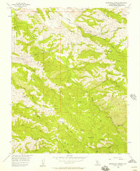
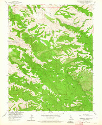
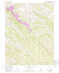
Editions of this 1956 Mendenhall Springs Map
5 editions found
Other maps of this area

1889 · San Jose
USGS Topo · 1:62,500

1897 · San Jose
USGS Topo · 1:62,500

1897 · Mt. Hamilton
USGS Topo · 1:62,500

1899 · San Jose
USGS Topo · 1:62,500

1906 · Pleasanton
USGS Topo · 1:62,500

1907 · Tesla
USGS Topo · 1:62,500

1916 · Midway
USGS Topo · 1:31,680

1941 · Pleasanton
USGS Topo · 1:62,500

1942 · Mt. Hamilton
USGS Topo · 1:62,500

1942 · Altamont
USGS Topo · 1:62,500