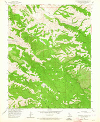
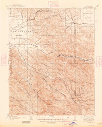
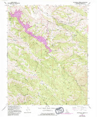
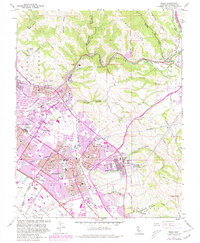
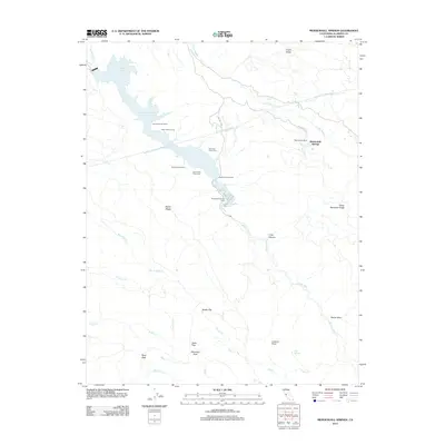
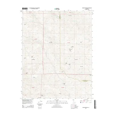
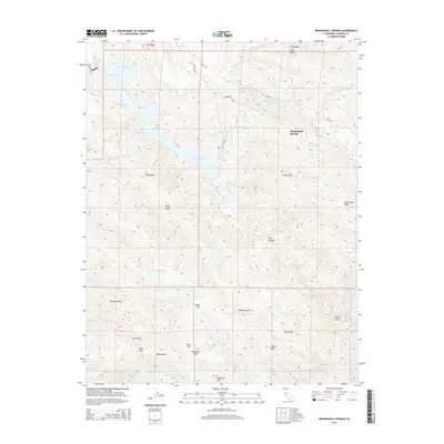
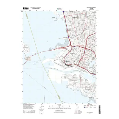
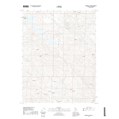
1956 Map of Mendenhall Springs
USGS Topo · Published 1964About this map
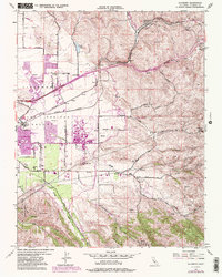
Mendenhall Springs sits at the heart of this mid-century topographic study, which reveals a landscape defined by critical water infrastructure and high-altitude ridges in Alameda County. The industrial presence of the Hetch Hetchy Aqueduct is visible as it traverses the terrain, marked by the Hetch Hetchy Shaft. This infrastructure highlights the era's focus on channeling Sierra Nevada water across the Coast Ranges to the burgeoning Bay Area. Small settlements and naming conventions such as Shafer Flat and Rose Flat reflect early mountain ranching and homesteading history. The terrain is dominated by prominent landforms like Crane Ridge and Cedar Mountain, while water bodies including Arroyo Mocho and Arroyo Valle carve deep paths through the foothills of the Valle De San Jose.
Find a feature on this map
33 named features on this map. Tap any name to fly to it.
Don’t see what you’re looking for? This feature index may not catch every label — zoom into the map to look around manually.
Map Details
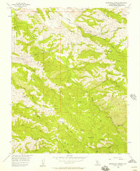
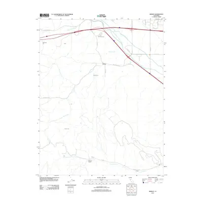
Editions of this 1956 Mendenhall Springs Map
5 editions found
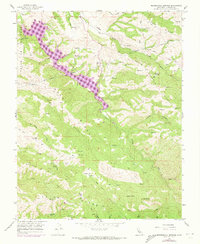
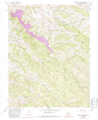
Historical Maps of Mendenhall Springs Through Time
55 maps found
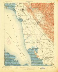
1899 Haywards
Alameda County, CA
1907 Tesla
Alameda County, CA

1916 Midway
Alameda County, CA

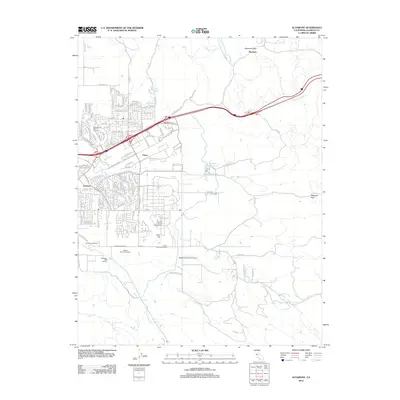
1942 Altamont
Alameda County, CA

1943 Tesla
Alameda County, CA
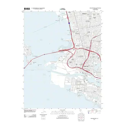
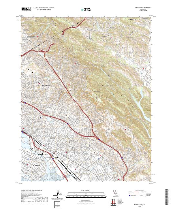
1947 Oakland East
Alameda County, CA

1949 Oakland East
Alameda County, CA
1949 Oakland West
Alameda County, CA
1953 Altamont
Alameda County, CA
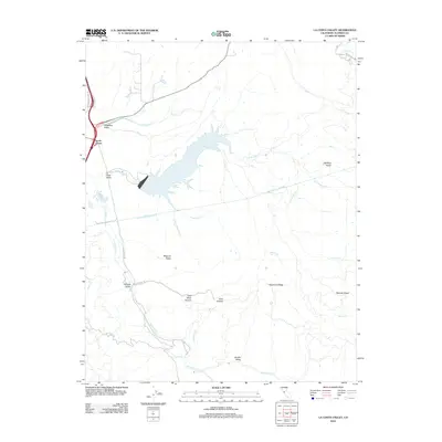
1953 La Costa Valley
Alameda County, CA
1953 Midway
Alameda County, CA

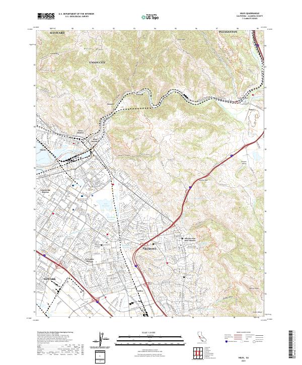
1953 Niles
Alameda County, CA
1956 Cedar Mtn
Alameda County, CA
1956 Mendenhall Springs
Alameda County, CA
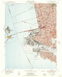
1959 Oakland East
Alameda County, CA
1959 Oakland West
Alameda County, CA
1960 La Costa Valley
Alameda County, CA
1961 Niles
Alameda County, CA

1968 La Costa Valley
Alameda County, CA

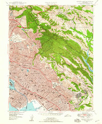
1993 Oakland West
Alameda County, CA

1996 La Costa Valley
Alameda County, CA

1996 Mendenhall Springs
Alameda County, CA

1997 Oakland East
Alameda County, CA
2012 Altamont
Alameda County, CA
2012 Cedar Mountain
Alameda County, CA
2012 La Costa Valley
Alameda County, CA
2012 Mendenhall Springs
Alameda County, CA
2012 Midway
Alameda County, CA
2012 Niles
Alameda County, CA
2012 Oakland East
Alameda County, CA
2012 Oakland West
Alameda County, CA
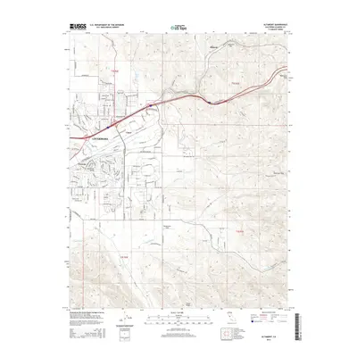
2015 Altamont
Alameda County, CA
2015 Cedar Mountain
Alameda County, CA
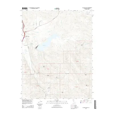
2015 La Costa Valley
Alameda County, CA
2015 Mendenhall Springs
Alameda County, CA
2015 Midway
Alameda County, CA
2015 Niles
Alameda County, CA
2015 Oakland East
Alameda County, CA
2015 Oakland West
Alameda County, CA
2018 Altamont
Alameda County, CA
2018 Cedar Mountain
Alameda County, CA
2018 La Costa Valley
Alameda County, CA
2018 Mendenhall Springs
Alameda County, CA
2018 Midway
Alameda County, CA
2018 Niles
Alameda County, CA
2018 Oakland East
Alameda County, CA
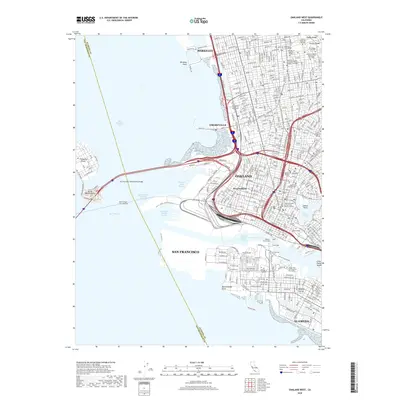
2018 Oakland West
Alameda County, CA
2021 Altamont
Alameda County, CA
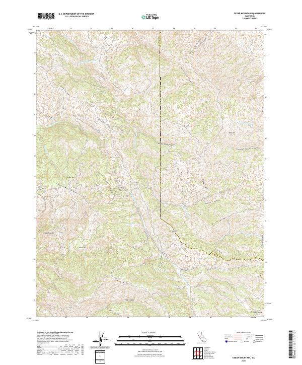
2021 Cedar Mountain
Alameda County, CA

2021 La Costa Valley
Alameda County, CA

2021 Mendenhall Springs
Alameda County, CA
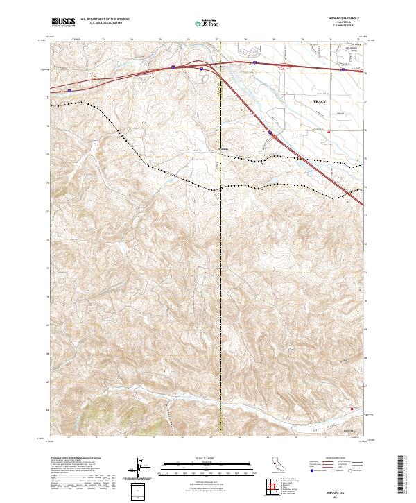
2021 Midway
Alameda County, CA
2021 Niles
Alameda County, CA
2021 Oakland East
Alameda County, CA

2021 Oakland West
Alameda County, CA