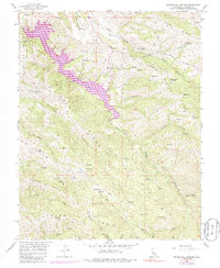
1956 Map of Mendenhall Springs
USGS Topo · Published 1985About this map
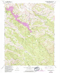
Lake Del Valle State Recreation Area dominates this Alameda County landscape, its reservoir filling the deep canyon of the Arroyo Valle. The 1970s-era revisions, shown in purple, illustrate the transformation of this terrain following the construction of the Del Valle Dam. While much of the area is defined by the high elevations of Crane Ridge and Cedar Mountain Ridge, the map also documents vital infrastructure and early settlements. The Hetch Hetchy Aqueduct tunnels through the northern ridges, crossing beneath Arroyo Mocho near a series of active Mines.
Find a feature on this map
43 named features on this map. Tap any name to fly to it.
Don’t see what you’re looking for? This feature index may not catch every label — zoom into the map to look around manually.
Map Details
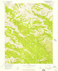
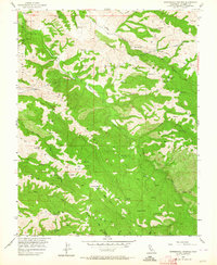
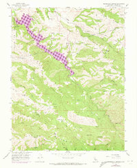
Editions of this 1956 Mendenhall Springs Map
5 editions found
Other maps of this area

1889 · San Jose
USGS Topo · 1:62,500

1897 · San Jose
USGS Topo · 1:62,500

1897 · Mt. Hamilton
USGS Topo · 1:62,500

1899 · San Jose
USGS Topo · 1:62,500

1906 · Pleasanton
USGS Topo · 1:62,500

1907 · Tesla
USGS Topo · 1:62,500

1916 · Midway
USGS Topo · 1:31,680

1941 · Pleasanton
USGS Topo · 1:62,500

1942 · Mt. Hamilton
USGS Topo · 1:62,500

1942 · Altamont
USGS Topo · 1:62,500