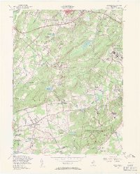
1954 Map of Mendham
USGS Topo · Published 1961About this map
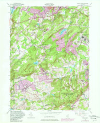
The hills of Morris County in the mid-1950s reveal a landscape defined by significant religious and institutional architecture. The area between Mendham and Washington Valley is notably dense with spiritual and educational centers, including St Marys Monastery and multiple convents such as St Annas Convent and the Sisters of the Good Shepherd Convent. To the northeast, the sprawling complex of the Greystone Park State Hospital marks the edge of Parsippany Troy Hills, while the County Welfare House and Sanatorium sits nearby, illustrating the era's centralized healthcare infrastructure.
Find a feature on this map
83 named features on this map. Tap any name to fly to it.
Don’t see what you’re looking for? This feature index may not catch every label — zoom into the map to look around manually.
Map Details
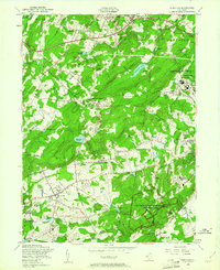
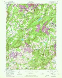
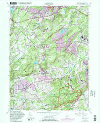
Editions of this 1954 Mendham Map
5 editions found
Other maps of this area

1888 · Plainfield
USGS Topo · 1:62,500

1888 · Morristown
USGS Topo · 1:62,500

1888 · Lake Hopatcong
USGS Topo · 1:62,500

1891 · Somerville
USGS Topo · 1:62,500

1893 · Plainfield
USGS Topo · 1:62,500

1893 · Somerville
USGS Topo · 1:62,500

1894 · Morristown
USGS Topo · 1:62,500

1894 · Lake Hopatcong
USGS Topo · 1:62,500

1898 · Lake Hopatcong
USGS Topo · 1:62,500

1898 · Morristown
USGS Topo · 1:62,500