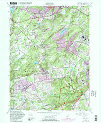
1954 Map of Mendham
USGS Topo · Published 1982About this map
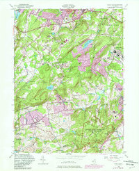
Morristown National Historical Park anchors the southeastern landscape, preserving the terrain of the Revolutionary War encampment at Mount Kemble. This mid-century survey reveals a transition between rural Morris County and expanding institutional footprints, most notably at the sprawling Greystone Park State Hospital and several specialized sanatoriums. Religious and charitable institutions are densely represented here, with the Mallinckrodt Convent, St Annas Convent, and Sisters of the Good Shepherd Convent clustered near Mendham and Washington Valley.
Find a feature on this map
72 named features on this map. Tap any name to fly to it.
Don’t see what you’re looking for? This feature index may not catch every label — zoom into the map to look around manually.
Map Details
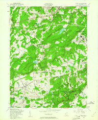
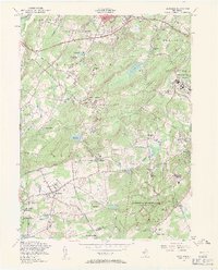
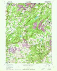
Editions of this 1954 Mendham Map
5 editions found
Other maps of this area

1888 · Plainfield
USGS Topo · 1:62,500

1888 · Morristown
USGS Topo · 1:62,500

1888 · Lake Hopatcong
USGS Topo · 1:62,500

1891 · Somerville
USGS Topo · 1:62,500

1893 · Plainfield
USGS Topo · 1:62,500

1893 · Somerville
USGS Topo · 1:62,500

1894 · Morristown
USGS Topo · 1:62,500

1894 · Lake Hopatcong
USGS Topo · 1:62,500

1898 · Lake Hopatcong
USGS Topo · 1:62,500

1898 · Morristown
USGS Topo · 1:62,500