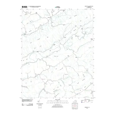
2010 Map of Mendota
USGS Topo · Published 2010About this map
Clinch Mountain dominates the center of this landscape, dividing the Moccasin Valley and Poor Valley in this corner of Washington County. The settlement of Mendota serves as a focal point along the North Fork Holston River, where the geography necessitated numerous crossings and landmarks of early commerce. This 2010 survey documents several river access points including Hobbs Ford, McFadden Ford, and Stacher Ford, alongside industrial remnants like Barker Mill and Fleenor Mill Ford.
Find a feature on this map
99 named features on this map. Tap any name to fly to it.
Don’t see what you’re looking for? This feature index may not catch every label — zoom into the map to look around manually.
Map Details
Editions of this 2010 Mendota Map
This is the sole edition of this map. No revisions or reprints were ever made.
Other maps of this area

1897 · Bristol
USGS Topo · 1:125,000

1902 · Bristol
USGS Topo · 1:125,000

1918 · Carterton
USGS Topo · 1:62,500

1920 · Coeburn
USGS Topo · 1:48,000

1934 · Wallace
USGS Topo · 1:24,000

1934 · Hansonville
USGS Topo · 1:24,000

1934 · Bristol
USGS Topo · 1:24,000

1935 · Hilton
USGS Topo · 1:24,000

1935 · Mendota
USGS Topo · 1:24,000

1935 · Blountville
USGS Topo · 1:24,000