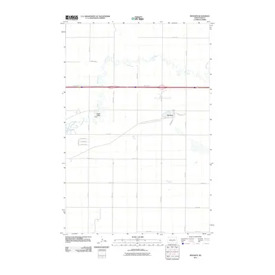
2011 Map of Menoken
USGS Topo · Published 2011About this map
Apple Creek meanders through the central and northern sections of this prairie landscape, defining the local topography east of Bismarck. The settlement of Menoken serves as a primary focal point, situated near the intersection of Menoken Dr and Bismarck St S. The map details a transition from traditional rural sections to newer residential developments, most notably Apple Valley, where street names like Paul's Dr and Herman Dr indicate localized growth.
Find a feature on this map
31 named features on this map. Tap any name to fly to it.
Don’t see what you’re looking for? This feature index may not catch every label — zoom into the map to look around manually.
Map Details
Editions of this 2011 Menoken Map
This is the sole edition of this map. No revisions or reprints were ever made.
Other maps of this area

1907 · Bismarck
USGS Topo · 1:125,000

1951 · Menoken SW
USGS Topo · 1:24,000

1951 · Menoken
USGS Topo · 1:62,500

1951 · McKenzie
USGS Topo · 1:62,500

1954 · Bismarck
USGS Topo · 1:250,000

1958 · Bismarck
USGS Topo · 1:250,000

1962 · Sugarloaf Butte
USGS Topo · 1:24,000

1962 · Menoken SW
USGS Topo · 1:24,000

1971 · Huff NE
USGS Topo · 1:24,000

1971 · Moffit NW
USGS Topo · 1:24,000