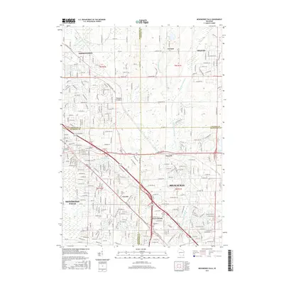
2015 Map of Menomonee Falls
USGS Topo · Published 2015About this map
Menomonee Falls and its surrounding suburbs appear here in a modern era of significant development, where the expanding urban footprint of Milwaukee meets the historic village centers of Germantown and Mequon. The landscape is heavily defined by the winding course of the Menomonee River and its tributaries, including Little Menomonee Creek and Pigeon Creek. This survey captures a mix of residential growth and preserved history, evidenced by the numerous church-affiliated burial grounds like Emmanuel Church Cem and Saint Mary's Cem. Small, established communities such as Fussville, Granville, and the historic German settlement of Freistadt are visible amidst a dense network of local roads and major arteries like Fond du Lac Ave. To the southwest, the natural terrain of Tamara Swamp stands in contrast to the nearby commercial and industrial hubs of West Granville and Victory Center.
Find a feature on this map
284 named features on this map. Tap any name to fly to it.
Don’t see what you’re looking for? This feature index may not catch every label — zoom into the map to look around manually.
Map Details
Editions of this 2015 Menomonee Falls Map
This is the sole edition of this map. No revisions or reprints were ever made.
Other maps of this area

1892 · Milwaukee
USGS Topo · 1:62,500

1892 · Waukesha
USGS Topo · 1:62,500

1892 · Port Washington
USGS Topo · 1:62,500

1901 · Milwaukee
USGS Topo · 1:62,500

1901 · Waukesha
USGS Topo · 1:62,500

1904 · West Bend
USGS Topo · 1:62,500

1904 · Port Washington
USGS Topo · 1:62,500

1906 · Waukesha
USGS Topo · 1:62,500

1906 · Milwaukee
USGS Topo · 1:62,500

1954 · Milwaukee
USGS Topo · 1:250,000