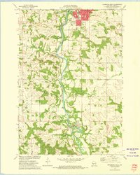
1972 Map of Menomonie South
USGS Topo · Published 1975About this map
The Red Cedar River corridor defines this portion of Dunn County, carving a path through the landscape from the southern reaches of Menomonie down toward Downsville. In the early 1970s, the river valley supported both heavy transport and recreation, with the Chicago Milwaukee St Paul and Pacific railroad tracking the western bank through Irvington. Higher ground is marked by several localized landmarks including The Pinnacle and the distinctive Devils Punch Bowl County Park.
Find a feature on this map
39 named features on this map. Tap any name to fly to it.
Don’t see what you’re looking for? This feature index may not catch every label — zoom into the map to look around manually.
Map Details
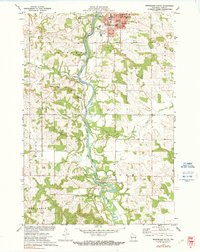
Editions of this 1972 Menomonie South Map
2 editions found
Other maps of this area

1929 · Durand
USGS Topo · 1:62,500

1932 · Durand
USGS Topo · 1:62,500

1935 · Arkansaw
USGS Topo · 1:48,000

1940 · Menomonie
USGS Topo · 1:62,500

1941 · Arkansaw
USGS Topo · 1:62,500

1942 · Arkansaw
USGS Topo · 1:62,500

1942 · Menomonie
USGS Topo · 1:62,500

1946 · Knapp
USGS Topo · 1:62,500

1949 · Knapp
USGS Topo · 1:62,500

1953 · Saint Paul
USGS Topo · 1:250,000