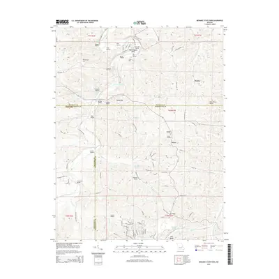
2015 Map of Meramec State Park
USGS Topo · Published 2015About this map
The Meramee River carves through this landscape, marking the northern boundary of Meramec State Park and sustaining a network of springs and river bottoms. The map reveals a transition from the protected parklands and residential areas like Miramiguoa Park and Caseyville to the industrial and agricultural reaches of the southern quadrangle. A notable geographic feature is the Pea Ridge Tailings Pond near the settlement of Pea Ridge, indicating the area's history with resource extraction.
Find a feature on this map
105 named features on this map. Tap any name to fly to it.
Don’t see what you’re looking for? This feature index may not catch every label — zoom into the map to look around manually.
Map Details
Editions of this 2015 Meramec State Park Map
This is the sole edition of this map. No revisions or reprints were ever made.
Other maps of this area

1901 · De Soto
USGS Topo · 1:125,000

1903 · Sullivan
USGS Topo · 1:125,000

1934 · Meramec State Park
USGS Topo · 1:24,000

1937 · Meramec State Park
USGS Topo · 1:24,000

1946 · Richwoods
USGS Topo · 1:62,500

1946 · Union
USGS Topo · 1:62,500

1947 · Sullivan
USGS Topo · 1:62,500

1947 · St. Clair
USGS Topo · 1:62,500

1948 · Richwoods
USGS Topo · 1:62,500

1948 · Union
USGS Topo · 1:62,500