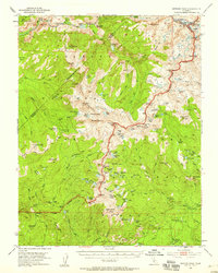
1953 Map of Merced Peak
USGS Topo · Published 1958About this map
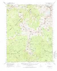
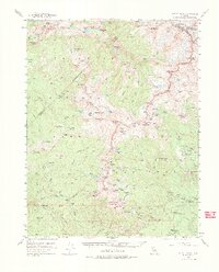
Yosemite National Park and the surrounding Sierra National Forest are documented here during a period of mid-century backcountry management. The high-altitude terrain is defined by the Merced River and its numerous forks, including the Lyell Fork and Illilouette Creek. Settlement is restricted to essential wilderness outposts like the Merced Lake Ranger Sta and remote dwellings such as Chetwood Cabin and Knoblock Cabin.
Find a feature on this map
142 named features on this map. Tap any name to fly to it.
Don’t see what you’re looking for? This feature index may not catch every label — zoom into the map to look around manually.
Map Details
Editions of this 1953 Merced Peak Map
7 editions found
Other maps of this area

1897 · Yosemite
USGS Topo · 1:125,000

1900 · Yosemite
USGS Topo · 1:125,000

1901 · Mt. Lyell
USGS Topo · 1:125,000

1903 · Yosemite
USGS Topo · 1:125,000

1904 · Kaiser
USGS Topo · 1:125,000

1909 · Yosemite
USGS Topo · 1:125,000

1912 · Mariposa
USGS Topo · 1:125,000

1947 · Mariposa
USGS Topo · 1:250,000

1948 · Mariposa
USGS Topo · 1:250,000

1953 · Merced Peak
USGS Topo · 1:62,500