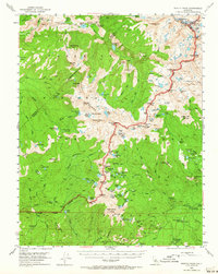
1953 Map of Merced Peak
USGS Topo · Published 1964About this map
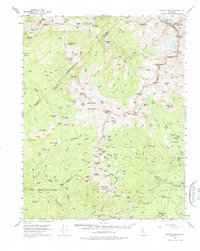
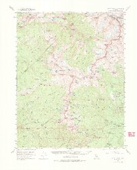
Merced River headwaters dominate this high-altitude survey of the southern Sierra Nevada, where the convergence of Yosemite National Park, Sierra National Forest, and Inyo National Forest creates a complex wilderness interface. The topography is defined by the sharp serrations of the Cathedral Range and the Clark Range, featuring prominent landmarks like Merced Peak and the Lyell Glacier. Human presence is marked by a network of backcountry infrastructure, including the Merced Lake Ranger Sta and isolated shelters such as Knoblock Cabin. While much of the area is dedicated to preservation and recreation at sites like High Sierra Campground, the presence of the Strawberry Tungsten Mine near the southeastern boundary indicates the era's lingering industrial interests within these remote reaches.
Find a feature on this map
127 named features on this map. Tap any name to fly to it.
Don’t see what you’re looking for? This feature index may not catch every label — zoom into the map to look around manually.
Map Details
Editions of this 1953 Merced Peak Map
7 editions found
Other maps of this area

1897 · Yosemite
USGS Topo · 1:125,000

1900 · Yosemite
USGS Topo · 1:125,000

1901 · Mt. Lyell
USGS Topo · 1:125,000

1903 · Yosemite
USGS Topo · 1:125,000

1904 · Kaiser
USGS Topo · 1:125,000

1909 · Yosemite
USGS Topo · 1:125,000

1912 · Mariposa
USGS Topo · 1:125,000

1947 · Mariposa
USGS Topo · 1:250,000

1948 · Mariposa
USGS Topo · 1:250,000

1953 · Merced Peak
USGS Topo · 1:62,500