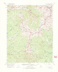
1953 Map of Merced Peak
USGS Topo · Published 1984About this map
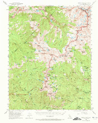
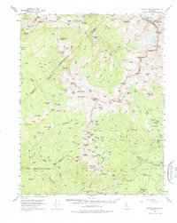
The high Sierra Nevada backcountry of the early 1950s is defined by the intersection of three major natural preserves: Yosemite National Park, Sierra National Forest, and Inyo National Forest. High peaks like Mt Lyell and Mt Florence dominate the northeast, while the Merced River cuts through Echo Valley to feed Merced Lake.
Find a feature on this map
136 named features on this map. Tap any name to fly to it.
Don’t see what you’re looking for? This feature index may not catch every label — zoom into the map to look around manually.
Map Details
Editions of this 1953 Merced Peak Map
7 editions found
Other maps of this area

1897 · Yosemite
USGS Topo · 1:125,000

1900 · Yosemite
USGS Topo · 1:125,000

1901 · Mt. Lyell
USGS Topo · 1:125,000

1903 · Yosemite
USGS Topo · 1:125,000

1904 · Kaiser
USGS Topo · 1:125,000

1909 · Yosemite
USGS Topo · 1:125,000

1912 · Mariposa
USGS Topo · 1:125,000

1947 · Mariposa
USGS Topo · 1:250,000

1948 · Mariposa
USGS Topo · 1:250,000

1953 · Merced Peak
USGS Topo · 1:62,500