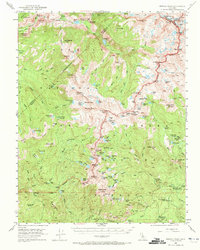
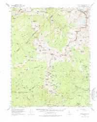
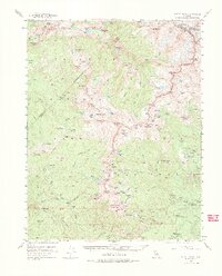
1953 Map of Merced Peak
USGS Topo · Published 1972About this map
Yosemite National Park and the adjacent Sierra National Forest dominate this mid-century high-country study, showing a landscape defined by glacial activity and early administrative outposts. Remote ranger stations like Merced Lake Ranger Sta and Clover Meadow Ranger Sta are mapped alongside isolated structures such as Knoblock Cabin and Chetwood Cabin, representing the sparse human footprint in this wilderness area. The alpine hydrology is remarkably detailed, tracing the Merced River from its headwaters at Mt Lyell through Echo Valley and into Merced Lake. Industrial activity is represented by the isolated Strawberry Tungsten Mine, a notable departure from the surrounding recreation and conservation land use. High-altitude passes including Chiquito Pass, Fernandez Pass, and Isberg Pass connect the drainage basins, illustrating the historical trail network used by early rangers and backcountry travelers before more modern access arrived.
Find a feature on this map
130 named features on this map. Tap any name to fly to it.
Don’t see what you’re looking for? This feature index may not catch every label — zoom into the map to look around manually.
Map Details
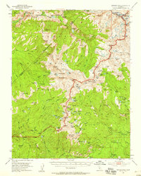
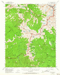
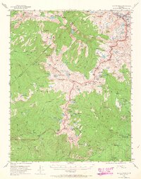
Editions of this 1953 Merced Peak Map
7 editions found
Other maps of this area

1897 · Yosemite
USGS Topo · 1:125,000

1900 · Yosemite
USGS Topo · 1:125,000

1901 · Mt. Lyell
USGS Topo · 1:125,000

1903 · Yosemite
USGS Topo · 1:125,000

1904 · Kaiser
USGS Topo · 1:125,000

1909 · Yosemite
USGS Topo · 1:125,000

1912 · Mariposa
USGS Topo · 1:125,000

1947 · Mariposa
USGS Topo · 1:250,000

1948 · Mariposa
USGS Topo · 1:250,000

1953 · Merced Peak
USGS Topo · 1:62,500