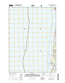
2014 Map of Mercer Lake OE W
USGS Topo · Published 2014About this map
The coastal environment of the Pacific Northwest is illustrated along this shoreline stretch where the Siuslaw River meets the sea. The northern edge of Florence is documented near the river mouth, with the residential layout of Heceta Beach sitting further north along the coast. This 2014 survey reveals the proximity of modern local roads like Rhododendron Dr and N Jetty Rd to the expansive protected lands of the Siuslaw National Forest.
Find a feature on this map
19 named features on this map. Tap any name to fly to it.
Don’t see what you’re looking for? This feature index may not catch every label — zoom into the map to look around manually.
Map Details
Editions of this 2014 Mercer Lake OE W Map
This is the sole edition of this map. No revisions or reprints were ever made.
Other maps of this area

1920 · Siltcoos Lake
USGS Topo · 1:62,500

1920 · Heceta Head
USGS Topo · 1:62,500

1941 · Siltcoos Lake
USGS Topo · 1:62,500

1942 · Heceta Head
USGS Topo · 1:62,500

1942 · Siltcoos Lake
USGS Topo · 1:62,500

1953 · Salem
USGS Topo · 1:250,000

1954 · Salem
USGS Topo · 1:250,000

1954 · Coos Bay
USGS Topo · 1:250,000
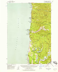
1956 · Heceta Head
USGS Topo · 1:62,500
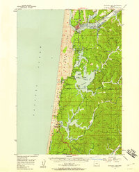
1956 · Siltcoos Lake
USGS Topo · 1:62,500