Loading...
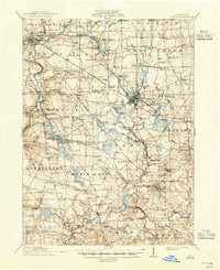
Loading map...1961 Map of Mercer
USGS Topo · Published 1990About this map
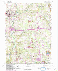
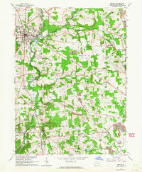
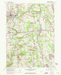
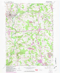
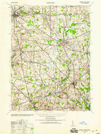
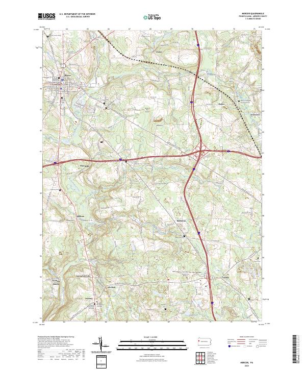
Mercer serves as the focal point of this 1961 survey, later updated in 1990 to show the expansion of modern infrastructure across the Findley and Springfield townships. The landscape is a transition of agricultural land, coal extraction, and emerging highway networks, including several massive interchanges. Local history is anchored at the Johnson Tavern Historical Site and numerous country burial grounds like Courtney Cem and Findley Cem.
Find a feature on this map
61 named features on this map. Tap any name to fly to it.
Don’t see what you’re looking for? This feature index may not catch every label — zoom into the map to look around manually.
Map Details
Date Portrayed1961
Date Published1990
PublisherU.S. Geological Survey
Map TypeTopographic
Scale1:24,000
Physical Dimensions22 x 26.9 inches
Editions of this 1961 Mercer Map
4 editions found
Historical Maps of Mercer Through Time
5 maps found

Featured Locations
- East Lackawannock Township, PA
- Wolf Creek Township, PA
- Findley Township, PA
- Mercer, PA
- Amsterdam, Liberty Township
Source Details
SourceU.S. Geological Survey
CopyrightPublic Domain