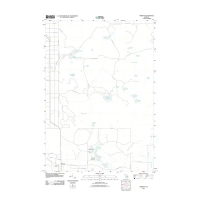
2011 Map of Meredith
USGS Topo · Published 2011About this map
The settlement of Meredith anchors this portion of Gladwin County, positioned near the convergence of several waterway systems including the Middle Branch Cedar River. This 2011 survey documents a landscape defined by its glacial lakes and conservation areas, notably the House Lake State Forest Campground and Trout Lake State Forest Campground. The road network, including the prominent Meredith Grade Rd, reflects the region's historic transition from timber production to recreational use. Numerous named water bodies like Headquarters Lake, Rollway Lake, and Ryan Lake are scattered across the terrain, connected by seasonal creeks and drainage paths such as Denton Creek. For those tracing local heritage, the Meredith Cemetery remains a primary landmark south of the main settlement, situated along Evergreen Rd in a quiet, forested corridor.
Find a feature on this map
54 named features on this map. Tap any name to fly to it.
Don’t see what you’re looking for? This feature index may not catch every label — zoom into the map to look around manually.
Map Details
Editions of this 2011 Meredith Map
This is the sole edition of this map. No revisions or reprints were ever made.
Other maps of this area

1954 · Traverse City
USGS Topo · 1:250,000

1958 · Traverse City
USGS Topo · 1:250,000

1963 · Backus Lake
USGS Topo · 1:24,000

1963 · Prudenville
USGS Topo · 1:24,000

1965 · St. Helen
USGS Topo · 1:24,000

1969 · Meredith NW
USGS Topo · 1:24,000

1969 · Meredith
USGS Topo · 1:24,000

1969 · Butman
USGS Topo · 1:24,000

1969 · Wagarville
USGS Topo · 1:24,000

1969 · Meredith SW
USGS Topo · 1:24,000