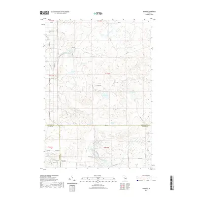
2019 Map of Meredith
USGS Topo · Published 2019About this map
Meredith serves as the primary settlement on this landscape where the boundaries of Roscommon, Clare, and Gladwin counties converge. The area is defined by an intricate network of small glacial lakes and wetlands, including Rollway Lake, Hoister Lake, and the expansive Marl Lake. These water bodies feed into the headwaters of the Middle Br Cedar River and the Sugar River, which drain the southern portion of the sheet.
Find a feature on this map
74 named features on this map. Tap any name to fly to it.
Don’t see what you’re looking for? This feature index may not catch every label — zoom into the map to look around manually.
Map Details
Editions of this 2019 Meredith Map
This is the sole edition of this map. No revisions or reprints were ever made.
Other maps of this area

1954 · Traverse City
USGS Topo · 1:250,000

1958 · Traverse City
USGS Topo · 1:250,000

1963 · Backus Lake
USGS Topo · 1:24,000

1963 · Prudenville
USGS Topo · 1:24,000

1965 · St. Helen
USGS Topo · 1:24,000

1969 · Meredith NW
USGS Topo · 1:24,000

1969 · Meredith
USGS Topo · 1:24,000

1969 · Butman
USGS Topo · 1:24,000

1969 · Wagarville
USGS Topo · 1:24,000

1969 · Meredith SW
USGS Topo · 1:24,000