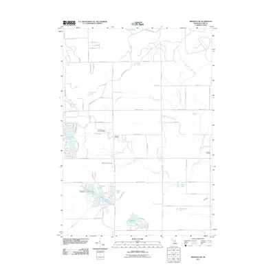
2011 Map of Meredith SW
USGS Topo · Published 2011About this map
Cedar View Cemetery and Hamilton Cemetery stand as quiet landmarks within this rural Clare County landscape, which is defined by a dense network of inland waters and the North Hamilton Oil and Gas Field. The terrain is characterized by numerous glacial lakes, including the cluster of Dodge Lake, Icehouse Lake, and Canada Lake in the south, and the larger Arnold Lake and Cranberry Lake to the west. These water bodies are connected by a system of small waterways such as Popple Creek and the West Branch Cedar River. The local infrastructure reflects a mix of recreation and resource extraction, with the Devil's Knob Golf Course and Cedar Shores Campground situated near the lakefronts. Long-established routes like Meredith Grade Rd and N Athey Ave provide the primary framework for the scattered homesteads and seasonal properties that populate this section of Frost Township.
Find a feature on this map
71 named features on this map. Tap any name to fly to it.
Don’t see what you’re looking for? This feature index may not catch every label — zoom into the map to look around manually.
Map Details
Editions of this 2011 Meredith SW Map
This is the sole edition of this map. No revisions or reprints were ever made.
Other maps of this area

1954 · Traverse City
USGS Topo · 1:250,000

1954 · Midland
USGS Topo · 1:250,000

1957 · Harrison
USGS Topo · 1:62,500

1958 · Traverse City
USGS Topo · 1:250,000

1958 · Midland
USGS Topo · 1:250,000

1959 · Midland
USGS Topo · 1:250,000

1959 · Clare
USGS Topo · 1:62,500

1966 · Midland
USGS Topo · 1:250,000

1969 · Meredith NW
USGS Topo · 1:24,000

1969 · Meredith
USGS Topo · 1:24,000