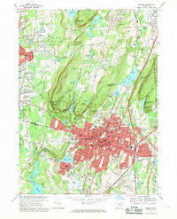
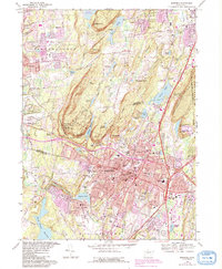
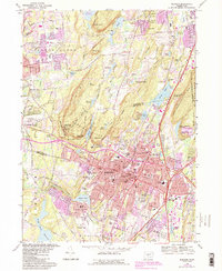
1967 Map of Meriden
USGS Topo · Published 1970About this map
The city of Meriden is the central focus of this 1960s survey, illustrating a period of significant urban development and institutional growth. The landscape is defined by the dramatic trap rock ridges of Lamentation Mountain to the east and the Hanging Hills to the west, where Hubbard Park and West Peak State Park preserve the high ground. The city's residential and industrial expansion is visible around the Quinnipiac River, with numerous schools like Maloney High Sch and Wilcox Tech Sch serving the growing population.
Find a feature on this map
111 named features on this map. Tap any name to fly to it.
Don’t see what you’re looking for? This feature index may not catch every label — zoom into the map to look around manually.
Map Details
Editions of this 1967 Meriden Map
6 editions found
Other maps of this area

1892 · New Haven
USGS Topo · 1:62,500

1892 · Meriden
USGS Topo · 1:62,500

1893 · Guilford
USGS Topo · 1:62,500

1893 · Middletown
USGS Topo · 1:62,500

1893 · Meriden
USGS Topo · 1:62,500

1906 · Farmington
USGS Topo · 1:125,000

1921 · New Haven
USGS Topo · 1:62,500

1928 · Cromwell
USGS Topo · 1:24,000

1943 · Durham
USGS Topo · 1:25,000

1944 · Hartford South
USGS Topo · 1:31,680