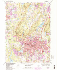
1967 Map of Meriden
USGS Topo · Published 1992About this map
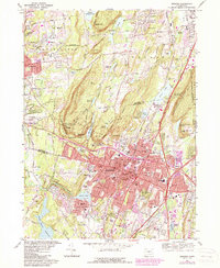
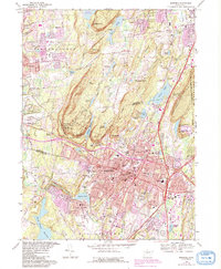
Meriden occupies the center of this 1967 survey, where the valley floor meets the dramatic rising traprock ridges of the Hanging Hills. The city's mid-century urban core is detailed with civic landmarks like the City Hall, the Armory Public Works Bldg, and institutional sites such as the Undercliff Sanatorium and the State School for Boys. Surrounding the industrial and residential center, the landscape is defined by extensive green spaces and reservoirs, including the massive Hubbard Park nestled against West Peak and East Peak.
Find a feature on this map
102 named features on this map. Tap any name to fly to it.
Don’t see what you’re looking for? This feature index may not catch every label — zoom into the map to look around manually.
Map Details
Editions of this 1967 Meriden Map
6 editions found
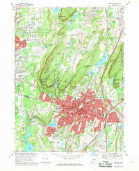
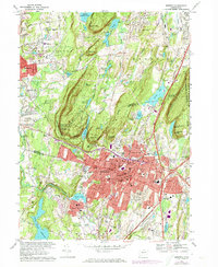
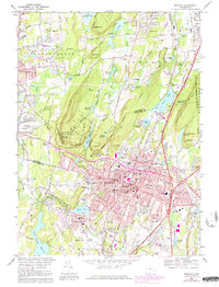
Other maps of this area

1892 · New Haven
USGS Topo · 1:62,500

1892 · Meriden
USGS Topo · 1:62,500

1893 · Guilford
USGS Topo · 1:62,500

1893 · Middletown
USGS Topo · 1:62,500

1893 · Meriden
USGS Topo · 1:62,500

1906 · Farmington
USGS Topo · 1:125,000

1921 · New Haven
USGS Topo · 1:62,500

1928 · Cromwell
USGS Topo · 1:24,000

1943 · Durham
USGS Topo · 1:25,000

1944 · Hartford South
USGS Topo · 1:31,680