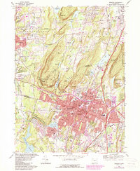
1967 Map of Meriden
USGS Topo · Published 1985About this map
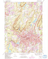
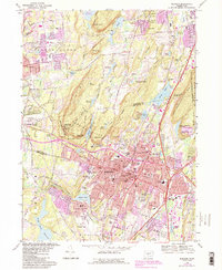
The ridge of Lamentation Mtn State Park and the distinct volcanic peaks of West Peak State Park frame the industrial and residential core of Meriden. This mid-century survey captures the city at a moment of significant expansion, where purple revisions indicate the burgeoning urban footprint encroaching on the surrounding hills. Centered around Harbor Brook and the Amtrak line, the city's infrastructure includes the Undercliff Sanatorium and the State School for Boys, alongside numerous neighborhood schools like Eli Whitney Sch and Nathan Hale Sch. The landscape is a complex mix of rugged terrain and high-density development, with the Quinnipiac River cutting through the Quinnipiac Gorge in the southwest. Local industry is represented by the Chauncey Peak Quarry, while the area's spiritual and social history is grounded in numerous dedicated spaces such as St Stanislaus Cemetery and the Meriden Hebrew Cem.
Find a feature on this map
100 named features on this map. Tap any name to fly to it.
Don’t see what you’re looking for? This feature index may not catch every label — zoom into the map to look around manually.
Map Details
Editions of this 1967 Meriden Map
6 editions found
Other maps of this area

1892 · New Haven
USGS Topo · 1:62,500

1892 · Meriden
USGS Topo · 1:62,500

1893 · Guilford
USGS Topo · 1:62,500

1893 · Middletown
USGS Topo · 1:62,500

1893 · Meriden
USGS Topo · 1:62,500

1906 · Farmington
USGS Topo · 1:125,000

1921 · New Haven
USGS Topo · 1:62,500

1928 · Cromwell
USGS Topo · 1:24,000

1943 · Durham
USGS Topo · 1:25,000

1944 · Hartford South
USGS Topo · 1:31,680