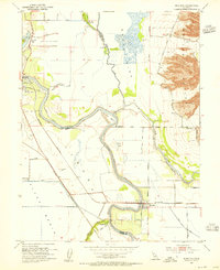
1952 Map of Meridian
USGS Topo · Published 1955About this map
Sacramento River meanders define the central geography of this mid-century survey, creating deep oxbows like Moons Bend and Cobbs Bend that dictated the region's agricultural and flood-control infrastructure. The Jimeno land grant boundary and the Colusa Basin highlight the complex irrigation and drainage systems of the valley floor, including the massive Colusa BY-Pass and Colusa Weir. Settlement is concentrated along the river and rail lines, with the town of Meridian serving as a focal point near the Sacramento Northern tracks.
Find a feature on this map
30 named features on this map. Tap any name to fly to it.
Don’t see what you’re looking for? This feature index may not catch every label — zoom into the map to look around manually.
Map Details
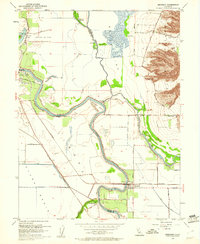
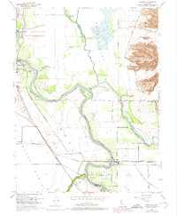
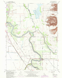
Editions of this 1952 Meridian Map
4 editions found
Other maps of this area

1888 · Marysville
USGS Topo · 1:125,000

1891 · Marysville
USGS Topo · 1:125,000

1894 · Marysville
USGS Topo · 1:125,000

1895 · Marysville
USGS Topo · 1:125,000

1906 · Maxwell
USGS Topo · 1:62,500

1907 · Colusa
USGS Topo · 1:62,500

1911 · Sanborn Slough
USGS Topo · 1:31,680

1911 · Grimes
USGS Topo · 1:31,680

1912 · Marysville Buttes
USGS Topo · 1:31,680

1912 · Pennington
USGS Topo · 1:31,680