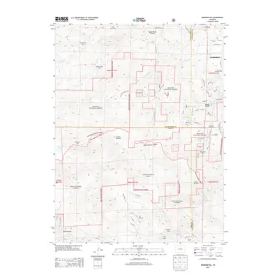
2013 Map of Meridian Hill
USGS Topo · Published 2013About this map
Meridian Hill and Black Mountain dominate this Front Range landscape where Jefferson, Clear Creek, and Park Counties meet. The terrain is defined by its intersections of water and forest, notably where Maxwell Falls and its associated Maxwell Falls Picnic Grounds provide a focal point for recreation within the Arapaho National Forest. The map documents a residential pattern of dispersed mountain communities like Harris Park and Brook Forest, alongside the southern reaches of Evergreen.
Find a feature on this map
79 named features on this map. Tap any name to fly to it.
Don’t see what you’re looking for? This feature index may not catch every label — zoom into the map to look around manually.
Map Details
Editions of this 2013 Meridian Hill Map
This is the sole edition of this map. No revisions or reprints were ever made.
Other maps of this area

1893 · Platte Canyon
USGS Topo · 1:125,000

1899 · West Denver
USGS Topo · 1:125,000

1903 · Georgetown
USGS Topo · 1:62,500

1905 · Georgetown
USGS Topo · 1:62,500

1945 · Pine
USGS Topo · 1:24,000

1945 · Bailey
USGS Topo · 1:24,000

1945 · Shawnee
USGS Topo · 1:24,000

1948 · Pine
USGS Topo · 1:24,000

1948 · Shawnee
USGS Topo · 1:24,000

1949 · Bailey
USGS Topo · 1:24,000