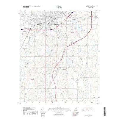
2018 Map of Meridian South
USGS Topo · Published 2018About this map
Meridian anchor this 2018 survey of Lauderdale County, where the urban grid gives way to the southern hills and the winding path of Sowashee Creek. The landscape is a transition from the dense streetscapes of the city to outlying communities like Wolf Springs and the interestingly named Zero. The Kansas City Southern rail line cuts through the heart of the area, reflecting the long-standing importance of transportation to the local economy.
Find a feature on this map
146 named features on this map. Tap any name to fly to it.
Don’t see what you’re looking for? This feature index may not catch every label — zoom into the map to look around manually.
Map Details
Editions of this 2018 Meridian South Map
This is the sole edition of this map. No revisions or reprints were ever made.
Other maps of this area

1921 · Meridian
USGS Topo · 1:48,000

1923 · Meridian
USGS Topo · 1:62,500

1953 · Meridian
USGS Topo · 1:250,000

1957 · Meridian
USGS Topo · 1:250,000

1957 · Chunky
USGS Topo · 1:62,500

1957 · Quitman
USGS Topo · 1:62,500

1957 · Enterprise
USGS Topo · 1:62,500

1965 · Meridian
USGS Topo · 1:250,000

1971 · Vimville
USGS Topo · 1:24,000

1971 · Meridian South
USGS Topo · 1:24,000