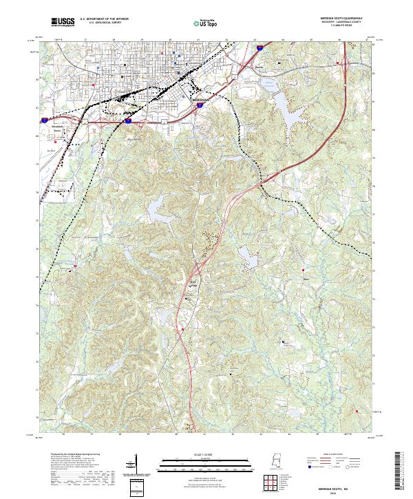
2024 Map of Meridian South
USGS Topo · Published 2024About this map
The city of Meridian anchors the northern portion of this landscape, where the Lauderdale County Courthouse stands as a central civic landmark amidst an established urban grid. The city's geography is defined by a concentration of historical burial sites, including Saint Patricks Cem and the notable Rose Hill Cem. To the south, the terrain transitions into a more rural character, marked by the prominent height of Mount Barton and the sprawling Meridian National Fish Hatchery.
Find a feature on this map
166 named features on this map. Tap any name to fly to it.
Don’t see what you’re looking for? This feature index may not catch every label — zoom into the map to look around manually.
Map Details
Editions of this 2024 Meridian South Map
This is the sole edition of this map. No revisions or reprints were ever made.
Other maps of this area

1921 · Meridian
USGS Topo · 1:48,000

1923 · Meridian
USGS Topo · 1:62,500

1953 · Meridian
USGS Topo · 1:250,000

1957 · Meridian
USGS Topo · 1:250,000

1957 · Chunky
USGS Topo · 1:62,500

1957 · Quitman
USGS Topo · 1:62,500

1957 · Enterprise
USGS Topo · 1:62,500

1965 · Meridian
USGS Topo · 1:250,000

1971 · Vimville
USGS Topo · 1:24,000

1971 · Meridian South
USGS Topo · 1:24,000