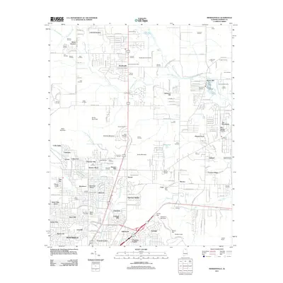
2011 Map of Meridianville
USGS Topo · Published 2011About this map
The growing northern periphery of Huntsville and the established community of Meridianville anchor this Madison County landscape. The area is characterized by a dense concentration of lineage-rich sites, including the Antioch Primitive Baptist Cemetery and several family-named burial grounds like Robinson Cemetery, Stewart Cemetery, and Cavett Cemetery. Significant topographic features such as Wade Mountain, Smithers Mountain, and the curiously named Devils Race Track rise above the suburban expansion of Colonial Gardens and Cherokee Hills.
Find a feature on this map
190 named features on this map. Tap any name to fly to it.
Don’t see what you’re looking for? This feature index may not catch every label — zoom into the map to look around manually.
Map Details
Editions of this 2011 Meridianville Map
This is the sole edition of this map. No revisions or reprints were ever made.
Other maps of this area

1888 · Scottsboro
USGS Topo · 1:125,000

1888 · Huntsville
USGS Topo · 1:125,000

1892 · Huntsville
USGS Topo · 1:125,000

1892 · Scottsboro
USGS Topo · 1:125,000

1936 · Jeff
USGS Topo · 1:24,000

1936 · Madison
USGS Topo · 1:24,000

1936 · Meridianville
USGS Topo · 1:24,000

1936 · Moontown
USGS Topo · 1:24,000

1936 · Fisk
USGS Topo · 1:24,000

1936 · Toney
USGS Topo · 1:24,000