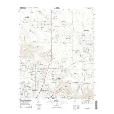
2014 Map of Meridianville
USGS Topo · Published 2014About this map
The northern edge of Huntsville and the campus of Alabama A & M Univ anchor this landscape as it appeared in the early 21st century. This region of Madison County is defined by the steep elevation changes of the Cumberland Plateau outliers, featuring the notable heights of Chapman Mtn, Smithers Mtn, and the Devils Race Track on Wade Mtn. These ridges rise sharply above developed valleys and the winding course of the Brier Fork Flint River.
Find a feature on this map
212 named features on this map. Tap any name to fly to it.
Don’t see what you’re looking for? This feature index may not catch every label — zoom into the map to look around manually.
Map Details
Editions of this 2014 Meridianville Map
This is the sole edition of this map. No revisions or reprints were ever made.
Other maps of this area

1888 · Scottsboro
USGS Topo · 1:125,000

1888 · Huntsville
USGS Topo · 1:125,000

1892 · Huntsville
USGS Topo · 1:125,000

1892 · Scottsboro
USGS Topo · 1:125,000

1936 · Jeff
USGS Topo · 1:24,000

1936 · Madison
USGS Topo · 1:24,000

1936 · Meridianville
USGS Topo · 1:24,000

1936 · Moontown
USGS Topo · 1:24,000

1936 · Fisk
USGS Topo · 1:24,000

1936 · Toney
USGS Topo · 1:24,000